
A very powerful cold air mass of unusual intensity for the month of November will cross Argentina, Uruguay, Paraguay, the Center-South of Brazil and will reach Bolivia at the beginning of next week. Late incursions of cold air are not unusual in November, which has a long history of low temperature days and freezing temperatures in high altitude cities, but this incursion of cold air is notable for its intensity.
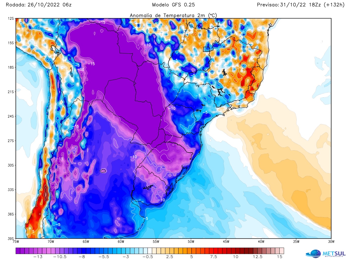
A sample of the common intensity of this cold is that the temperature anomalies per second for this polar air mass must be the most negative in the whole world in the North of Argentina, Bolivia, Paraguay, West of the Center-West and South of Brazil for this reason cold incursion, according to data from the North American GFS model. Nowhere in the world will the temperature be so much lower than normal for this time of year than in the area where the cold air mass acts.
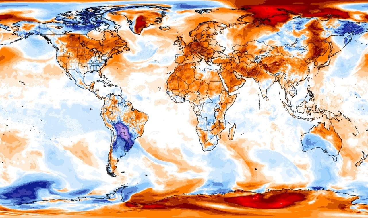
To understand. An anomaly results in a temperature deviation from the historical average. This does not mean that it will be the coldest region on the planet, but that the temperature will be lower than usual for the beginning of November. The coldest region on the planet will obviously be Antarctica, which today had a minimum temperature of 59.2 ºC below zero at the Dome A station.
The data indicates that Monday afternoon temperatures in northern Argentina, Bolivia, Paraguay and far western Mato Grosso do Sul, where the heat prevails at this time of year, can be up to ‘at 15ºC to 17ºC below normal until the beginning of the month. . In southern Brazil, anomalies will be about 10°C lower than historical normals.
Therefore, MetSul pointed out that the data points to an air mass with June-July characteristics in mid-November, less than a month before the onset of climatic summer (December-February quarter). Although many years have been cold in late spring and even frost is not uncommon in November at higher elevations in southern Brazil, this incursion of cold air, according to model data, exceeds the force normally seen in pulses of cold air at the end of November.
So much so that today the same models indicate very low temperatures for many cities in the Center-South of Brazil for November standards and the probability of marks below zero in some points, not to mention the occurrence of freeze.
As there are four to five days left for this mass of cold air to penetrate, the tendency is to adjust the forecasts until the arrival of the polar air. In its most recent outings, for example, the European model has increased the presence of clouds and moisture accompanying cold air early in the week, making more extreme lows and wider frosts difficult, but on the other hand, increases the perceived cold. during the afternoon with lower highs.
Other models, such as that of Canada, however, continue to indicate a frost episode in many cities in southern Brazil, in municipalities in the three states of the region (Rio Grande do Sul, Santa Catarina and Paraná), according to the pulse of polar air. This is the condition that raises the most concern about its potential impacts.
Wider and even heavy frosts in some places at this time of year are extremely concerning due to their high potential for damage to agriculture. The wheat harvest is not yet complete and many regions have already started sowing the summer crop. In some municipalities, the colder weather of the past few weeks is still preventing sowing because the soil temperature is too low.

“Total troublemaker. Alcohol aficionado. Social media specialist. Friendly travel nerd.”